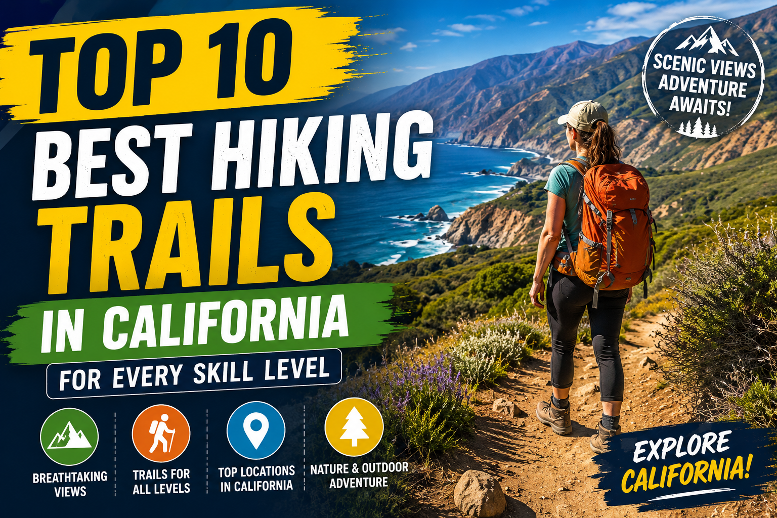
California is widely regarded as one of the most geographically diverse outdoor destinations on the planet. Stretching over 800 miles along the Pacific Ocean, the Golden State encompasses everything from sun-drenched coastal bluffs and ancient redwood groves to soaring granite peaks in the High Sierra and surreal desert landscapes.
Whether you are stepping onto a trail for the very first time or searching for a grueling high-altitude bucket-list summit, California offers endless options tailored to your experience level. However, with thousands of miles of pathways scattered across 9 National Parks and over 280 State Parks, picking the right route can feel overwhelming.
To help you plan your next outdoor excursion, we have curated the ultimate guide to the Top 10 Best Hiking Trails in California. Categorized by difficulty level—Beginner, Intermediate, and Advanced—this guide provides complete trail details, essential safety tips, and key highlights for every type of adventurer.
Quick Comparison: Top California Hikes at a Glance
| Trail Name | Location | Skill Level | Distance (Round Trip) | Key Highlight |
| McWay Falls Trail | Big Sur | Beginner | 0.6 miles | Coastal waterfall cascading onto pristine sand |
| Torrey Pines Beach Trail | San Diego | Beginner | 2.3 miles | Dramatic ocean bluffs & rare pine trees |
| Congress Trail | Sequoia National Park | Beginner | 3.0 miles | Paved walk among towering Giant Sequoias |
| Hidden Valley Trail | Joshua Tree National Park | Beginner | 1.3 miles | Monolithic rock formations & desert flora |
| Mist Trail | Yosemite National Park | Intermediate | 6.4 – 8.8 miles | Up-close views of Vernal & Nevada Falls |
| Tomales Point Trail | Point Reyes Seashore | Intermediate | 9.4 miles | Coastal headlands & free-roaming Tule elk |
| Sandstone Peak Loop | Santa Monica Mountains | Intermediate | 6.0 miles | Highest point in the Santa Monica Range |
| Half Dome Cable Route | Yosemite National Park | Advanced | 14 – 16 miles | Iconic 400-foot granite cable climb |
| Mount Whitney Trail | Eastern Sierra | Expert | 22.0 miles | Highest summit in the contiguous US (14,505 ft) |
| Lost Coast Trail | Humboldt County | Advanced / Expert | 25.3 miles | Remote coastal wilderness & black sand beaches |
1. Top Beginner Trails in California (Easy & Accessible)
Beginner-friendly trails in California focus on maximum visual reward with minimal elevation gain and straightforward navigation. These routes are perfect for families, casual walkers, or anyone looking to soak in world-class views without exhausting their energy reserves.
#1. McWay Falls Trail – Big Sur
- Location: Julia Pfeiffer Burns State Park, Big Sur
- Distance: 0.6 miles out-and-back
- Elevation Gain: ~50 feet
- Best Time to Visit: Year-round
If you are seeking one of the most photographed coastal viewpoints in the world, McWay Falls delivers. Located along the legendary Highway 1 in Big Sur, this short, flat dirt path leads along a cliffside to an overlook facing an 80-foot waterfall that tumbles directly onto a hidden white-sand cove.
Because the beach itself is strictly protected and inaccessible to foot traffic, the entire experience takes place from designated viewing platforms. It is an ideal, high-yield stop during a road trip along the California coast.
Pro Tip: Visit during late afternoon to capture the golden hour light reflecting off the Pacific Ocean against the waterfall cliff.
#2. Torrey Pines Guy Fleming & Beach Trail – San Diego
- Location: Torrey Pines State Natural Reserve, La Jolla
- Distance: 2.3 miles loop
- Elevation Gain: ~300 feet
- Best Time to Visit: Year-round
Perched high above the Pacific in Southern California, Torrey Pines offers a unique ecosystem home to America’s rarest native pine tree, the Pinus torreyana. Combining the Guy Fleming Loop with the Beach Trail creates a gentle hike across sandstone cliffs and sculpted canyons, ending with a descent straight to Torrey Pines State Beach.
The trail is well-maintained with clear signage, making it very accessible for hikers of all ages. Along the way, look out for migrating gray whales off the coast between December and April.
#3. Congress Trail – Sequoia National Park
- Location: Sequoia National Park, Sierra Nevada
- Distance: 3.0 miles loop
- Elevation Gain: 230 feet
- Best Time to Visit: May through October
For an easy walk among living giants, the Congress Trail is unbeatable. Starting at the foot of the General Sherman Tree—the largest living single-stem tree by volume on Earth—this paved loop winds through dense groves of ancient Giant Sequoias.
Notable stops along the loop include “The House” and “The Senate” tree clusters, where huge sequoias group tightly together forming natural wooden amphitheaters. The wide path and gentle incline make it a relaxed, awe-inspiring stroll suitable for strollers and hikers seeking a low-impact journey through primeval wilderness.
#4. Hidden Valley Nature Trail – Joshua Tree National Park
- Location: Joshua Tree National Park, Southern California
- Distance: 1.3 miles loop
- Elevation Gain: 100 feet
- Best Time to Visit: October through April
Hidden Valley is a rock-enclosed basin surrounded by massive granite boulder piles. Legend has it that 19th-century cattle rustlers used this isolated valley to hide stolen herds. Today, it serves as a scenic, educational loop highlighting the rich biodiversity of the Mojave Desert.
The trail requires stepping through a narrow rock gap before opening up into a vibrant desert sanctuary filled with Joshua trees, pinyon pines, yucca, and unique rock formations. Interpretive signs placed throughout the path explain the local flora and fauna, offering an ideal introduction to desert hiking.
2. Top Intermediate Trails in California (Moderate Challenge & Big Rewards)
Intermediate trails require a solid level of fitness, proper hiking shoes, and extra water. These routes feature moderate elevation gains, longer distances, and variable terrain, rewarding your effort with iconic California scenery.
#5. The Mist Trail (Vernal and Nevada Falls) – Yosemite National Park
- Location: Yosemite Valley, Yosemite National Park
- Distance: 6.4 miles (to Vernal Fall) up to 8.8 miles (Vernal + Nevada Falls loop)
- Elevation Gain: 1,000 to 2,200 feet
- Best Time to Visit: May to July (Peak water flow)
The Mist Trail is Yosemite’s signature day hike and easily one of the most spectacular waterfall trails in North America. Leaving from Happy Isles in Yosemite Valley, the path follows the Merced River upward before hitting a sheer granite staircase carved directly into the cliff.
As you ascend the 600+ stone steps alongside 317-foot Vernal Fall, heavy water spray creates constant rainbows—giving the trail its famous name. Hikers who continue up to 594-foot Nevada Fall are treated to sweeping views of Liberty Cap and the upper Sierra high country.
Safety Note: The granite steps can be slick from mist. Wear footwear with good traction, and bring a waterproof rain jacket during peak spring runoff.
#6. Tomales Point Trail – Point Reyes National Seashore
- Location: Marin County, Northern California
- Distance: 9.4 miles out-and-back
- Elevation Gain: 1,200 feet
- Best Time to Visit: Year-round (Late summer for elk rutting season)
Stretching along a narrow peninsula in Northern California, Tomales Point offers unobstructed ocean panoramas on both sides of the ridge—Bodega Bay to the west and Tomales Bay to the east.
This trail traverses the Tomales Point Tule Elk Reserve, where wild Tule elk roam freely across coastal prairies. The undulating path gently gains elevation while offering crisp ocean breezes, coastal wildflowers, and frequent wildlife sightings. Because there is no shade along the peninsula, wearing layers to protect against coastal fog and wind is essential.
#7. Mishe Mokwa Trail to Sandstone Peak – Santa Monica Mountains
- Location: Malibu / Circle X Ranch, Southern California
- Distance: 6.0 miles loop
- Elevation Gain: 1,400 feet
- Best Time to Visit: November through April
For some of the finest mountain-to-ocean views in Southern California, head to Sandstone Peak (also known as Mt. Allen). At 3,111 feet, it stands as the highest elevation in the Santa Monica Mountains Range.
The Mishe Mokwa Loop takes hikers past unique rock formations like Split Rock and Echo Cliffs—a favorite spot for local rock climbers. The steady incline winds through chaparral terrain before rewarding hikers at the summit with 360-degree views stretching across the Pacific Ocean, the Channel Islands, and the urban expanse of Los Angeles.
3. Top Advanced & Expert Trails in California (Bucket-List Mountain Adventures)
For experienced backpackers and seasoned day-hikers, California features some of the most challenging physical endeavors in North America. These trails demand rigorous preparation, high physical endurance, specialized permits, and alpine hazard awareness.
#8. Half Dome Cable Route – Yosemite National Park
- Location: Yosemite National Park, High Sierra
- Distance: 14 to 16 miles round trip
- Elevation Gain: 4,800 feet
- Best Time to Visit: Late May to October (When cables are up)
Half Dome stands as the ultimate rite of passage for Yosemite hikers. Demanding between 10 to 14 hours of continuous hiking, this long haul takes you past Vernal and Nevada Falls, through Little Yosemite Valley, and up the steep granite sub-dome before reaching the final challenge: The Cables.
Two steel cables supported by metal posts allow hikers to climb the final 400 vertical feet up the slick granite dome without technical climbing gear. Standing at 8,842 feet above sea level delivers an unmatched view over Yosemite Valley and the Sierra peaks.
Permit Required: Yosemite National Park enforces a strict preseason and daily lottery permit system for the Half Dome cables. Never attempt the cables during a thunderstorm or wet conditions.
#9. Mount Whitney Trail – Inyo National Forest
- Location: Lone Pine, Eastern Sierra
- Distance: 22 miles round trip (or multi-day backpack)
- Elevation Gain: 6,600 feet
- Best Time to Visit: July through September
At 14,505 feet (4,421 meters), Mount Whitney is the highest peak in the contiguous United States. Summiting Whitney in a single day is one of the most arduous endurance challenges in California.
Starting from Whitney Portal (elevation 8,360 ft), the trail ascends through alpine meadows, past pristine lakes, and up the infamous 99 Switchbacks to reach Trail Crest at 13,600 feet. From there, hikers traverse a narrow granite ridge to reach the summit shelter.
Because altitude sickness is a real threat, proper acclimatization, high water intake, and physical conditioning are vital.
Permit Warning: Due to high demand, Mount Whitney day-use and wilderness permits are awarded via a competitive lottery held every spring by the U.S. Forest Service.
#10. The Lost Coast Trail – Mattole to Shelter Cove
- Location: King Range National Conservation Area, Humboldt County
- Distance: 25.3 miles point-to-point (Multi-day)
- Elevation Gain: ~1,500 feet (Tidal navigation challenge)
- Best Time to Visit: May through September
When California built its coastal Highway 1, the terrain along Humboldt County’s coast was deemed too steep and rugged for construction. The result is The Lost Coast, California’s longest stretch of undeveloped coastline.
Hiking the Lost Coast Trail requires walking along black sand beaches, cobble shores, and coastal bluffs. The true difficulty lies in tide timing: several sections of the trail become completely impassable at high tide when waves crash directly against vertical rock cliffs. Hikers must carry a tide table, map, and bear canister while navigating shifting ocean sand with a full backpack.
Essential Safety & Planning Tips for California Hiking
To ensure a safe and enjoyable journey on California trails, keep these essential rules in mind before heading out:
- Obtain Necessary Permits: Many iconic routes (Half Dome, Mt. Whitney, Lost Coast, Desolation Wilderness) require advance permits. Check recreation.gov well before your trip.
- Understand Microclimates: California weather varies drastically. A warm 80°F afternoon at a trailhead in the Sierra Nevada can plunge below freezing once you cross 10,000 feet. Pack versatile thermal layers and a waterproof shell.
- Carry Extra Water: Dehydration is a common issue on desert trails (Joshua Tree, Death Valley) and high-elevation Sierra hikes. Aim for at least 1 liter of water per 2 hours of moderate hiking.
- Respect Wildlife: California is home to black bears, rattlesnakes, mountain lions, and Tule elk. Use bear canisters when backpacking in the Sierra Nevada, give wildlife plenty of distance, and never feed wild animals.
- Leave No Trace (LNT): Stay on established paths to prevent erosion, pack out all trash (including fruit peels), and respect designated camping zones to preserve these natural wonderlands for generations to come.
Final Thoughts
From the peaceful ancient groves of Sequoia National Park to the dramatic cliffside waterfalls of Yosemite and the high-alpine granite ridges of Mount Whitney, California offers an unmatched spectrum of outdoor adventure.
No matter your current experience level, there is a trail waiting for you in the Golden State. Lace up your hiking boots, pack plenty of water, check your permit requirements, and get ready to experience the incredible natural beauty of California first-hand! Safe trails!
Frequently Asked Questions (FAQ)
Q: What is the best time of year to hike in California?
A: It depends on the region. Desert hikes (Joshua Tree, Death Valley) are best in winter and early spring (October–April). High Sierra trails (Yosemite, Mt. Whitney) are best from July through September when snow melts. Coastal trails (Big Sur, Point Reyes) are great year-round.
Q: Do I need a permit for day hikes in California?
A: Most state and federal day hikes do not require permits. However, extremely popular or sensitive routes—such as Half Dome, Mount Whitney, and certain wilderness areas—require day-use permits obtained via lotteries.
Q: What are the best hikes in California for beginners?
A: Top beginner choices include McWay Falls in Big Sur, Torrey Pines Beach Trail in San Diego, Congress Trail in Sequoia National Park, and Hidden Valley in Joshua Tree. All feature short distances, mild elevation gains, and clear paths.
Penulis: W.S






Post Comment